
Google maps on satellite.
Google maps now includes satellite taken images. wow it is great. Here I show a few captures of google maps using only maps and the satellite view.
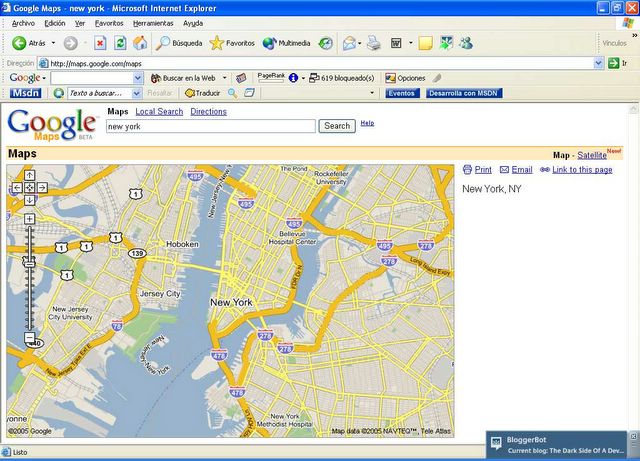
The same view but now with the satellite.

If we want search for the Ellis Island, we will see the following thing:

(On map)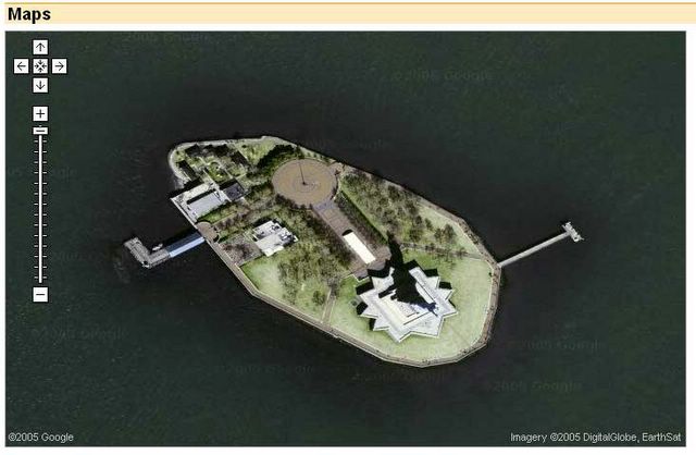
(with the satellite)
... preyty, my Master!
posted by Jey at 12:10 AM
![]()

0 Comments:
Post a Comment
<< Home